Kathmandu To Pokhara By Road: Road Condition Profile & Tourist Travel Tips (updated September 2026)
By Nepal Tourist Vehicle 18 Sep 2026
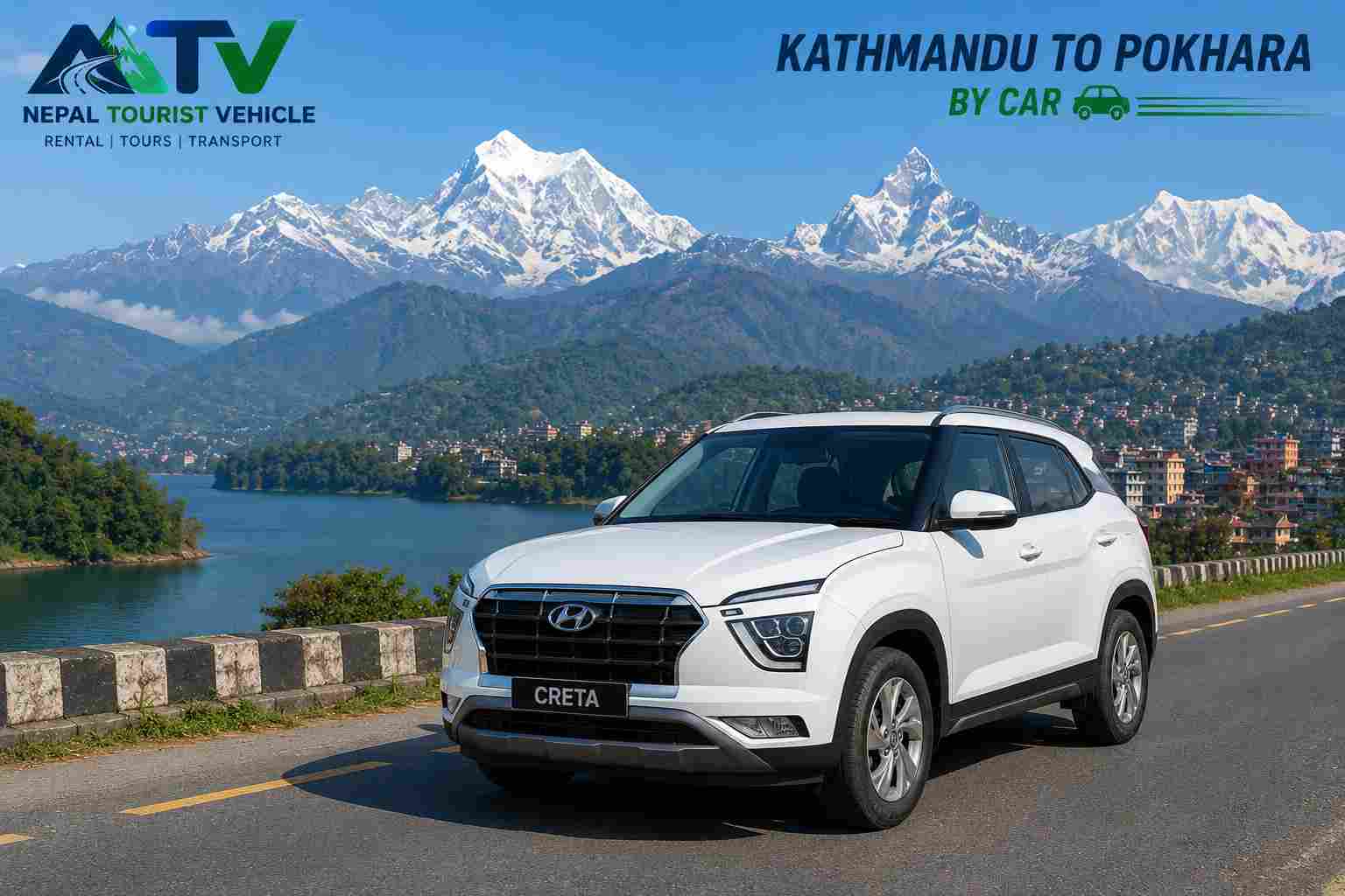
If you're planning a road trip from Kathmandu to Pokhara, the good news is that the route is one of the most scenic drives in Nepal, following the Trishuli and Marsyangdi rivers past terraced hills, suspension bridges, and views of the Annapurna and Manaslu ranges. The road itself, however, is a working mountain highway that changes with the seasons, so knowing its current condition matters as much as knowing the sights along the way.
The Route at a Glance
- Distance: About 200–206 km from central Kathmandu to Pokhara Lakeside, following the Prithvi Highway (the highway itself runs 174 km from Naubise to Pokhara, plus the approach from Kathmandu Valley).
- Travel time: Roughly 5.5–6.5 hours by private car or jeep, 6–8 hours by public or tourist bus, depending on traffic, weather, and stops.
- Road type: Fully paved for the entire stretch — there are no unpaved sections left on the main route — but surface quality varies by segment and season.
Road Condition Profile, Section by Section
| Section | Approx. Distance | Current Condition |
|---|---|---|
| Kathmandu – Naubise | 30 km | Generally good; road-widening work ongoing in places, expect some single-lane crawls near Kalanki and Naubise |
| Naubise – Malekhu | 50 km | Good to very good, but this gorge stretch is the highway's main monsoon landslide risk zone |
| Malekhu – Mugling | 30 km | Good, with rougher patches and potholes typical after monsoon (August–October) |
| Mugling – Dumre | 45 km | The best-maintained stretch of the whole highway |
| Dumre – Damauli | 25 km | Good, with some ongoing construction near Bimalnagar |
| Damauli – Pokhara | 40 km | Wide, well-paved, and generally the smoothest final leg |
Current Situation: The Krishnabhir Bottleneck (as of September 2026)
The one section every traveler should know about right now is Krishnabhir, a chronically unstable landslide zone between Nagdhunga and Mugling. Flood damage tied to a Rasuwa river surge shut this link for about 18 days this month; the Department of Roads has just reopened it on a newly cut 270-metre gravel bypass, restoring two-way traffic. That bypass is temporary — engineers are monitoring it for a couple of weeks before deciding whether to blacktop it, and several nearby spots (Shital Bazar, Jawang Khola, Galchhi, Mahesh Khola, Baireni) remain narrowed to a single lane because of ongoing flood and landslide damage.
Longer term, the government is building an alternative route from Benighat across the Trishuli River to Fisling in Chitwan (targeted for completion within about four months) and studying a tunnel or bridge to permanently stabilize Krishnabhir. Until one of those materializes, expect intermittent delays, single-lane traffic control, and the possibility of short closures after heavy rain anywhere along this gorge. It's worth checking conditions the morning of travel rather than assuming the road is clear.
Practical Tips for Tourists
Leave early. Departing Kathmandu before 7 a.m. avoids the worst of the traffic at Kalanki junction (the single most congested point on the entire route) and gives you a buffer if a section is running single-lane.
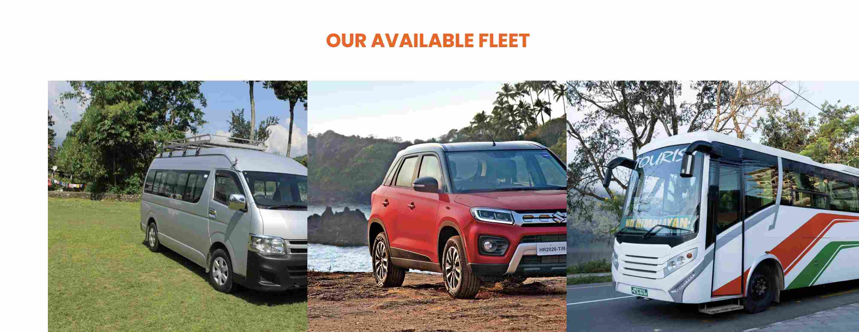
Pick your vehicle for the route, not just the price. A private car or jeep gives you the flexibility to stop for photos, tea, or a landslide-related delay without disrupting a busload of other passengers; a van suits small groups well; larger tourist buses are comfortable but slower through the narrow gorge sections. If you're traveling in the monsoon season, a higher-clearance jeep is the safer choice for the Naubise–Malekhu stretch.
Time your trip around the season. October to April is generally the most reliable window, with clearer skies and stable road conditions. June through September (monsoon) brings the highest landslide and flood risk, particularly around Krishnabhir — not a reason to cancel a trip, but a reason to build in extra travel time and stay flexible on departure timing.
Break the journey up. Malekhu (around the 80 km mark) is the classic stop for fresh river fish; Mugling (about 110 km, roughly the midpoint) is the main lunch stop with the widest choice of restaurants; Damauli offers a quieter tea break with Annapurna views. If you have extra time, the Manakamana cable car detour at Kurintar (105 km) adds a memorable stop but tacks on 1.5–2.5 hours.
Carry the basics. Cash for tea houses and small tolls, a light jacket even in warmer months (the gorge sections can be cool and damp), motion sickness remedies if you're prone to it on winding roads, and a downloaded offline map as a backup — mobile signal drops in a few of the gorge stretches.
Book your vehicle with a local operator who tracks road conditions daily. Because sections of this highway can shift from two-lane to single-lane traffic control with little notice, a driver who knows the route and checks conditions that morning is worth far more than a slightly cheaper rate. This is exactly the kind of local knowledge a Kathmandu-based vehicle rental service can offer that a self-drive or app-based booking often can't.
Bottom Line
The Kathmandu–Pokhara road is fully paved, scenic, and manageable for most travelers, but it is not a road to treat as "set and forget." The Krishnabhir gorge remains a genuine chokepoint that can add delays even when technically "open," and conditions shift with the weather. Traveling with an experienced local driver, leaving early, and building slack into your schedule are the three things that make the biggest difference between a smooth 6-hour drive and a frustrating one.